Reykjanes Peninsula in Iceland: Gunnuhver and Brimketill Lava Pool
Two quiet stops on the Reykjanes peninsula in Iceland, October 2024: the steaming Gunnuhver hot springs and the Brimketill lava pool, near the Blue Lagoon.
The short version
- Our score: 4.5 out of 5.
- Worth it? Yes. Two stops near the airport with almost no one at either. We were glad we came to Gunnuhver, and at Brimketill the sun finally came out and nobody else was around.
- Our trip: Sunday 20 October 2024, a couple in a hire car on our Iceland trip, from Reykjavík down Route 41 and Route 425 to Gunnuhver and Brimketill, then the long way round to the Silica Hotel by the Blue Lagoon.
- Still the same? Yes. No eruption since 2021 has reached either place, and neither publishes a parking fee. The eruptions near Grindavík have been quiet since August 2025, but magma is building again there, so check before you go (checked 15 November 2026).
We took the opportunity to check the map for more areas we didn’t see anyone recommend. Gunnuhver had almost no one there. Glad we came.
Our notes on the Reykjanes peninsula

The Reykjanes peninsula is the south-west corner of Iceland, where Keflavík airport, Grindavík and the Blue Lagoon are. We drove round it on the fourth day of our Iceland trip, Sunday 20 October 2024, between a hot dog in Reykjavík and our last night at the Silica Hotel. It was the day the sun finally came out.
This is that drive: the petrol station stop, the roads down to the tip, Gunnuhver hot springs, the lighthouse we didn’t walk to, the Brimketill lava pool, what the volcanoes have and haven’t done to this corner of Iceland, and whether it’s safe to go now.
Out of Reykjavík, and a petrol station stop
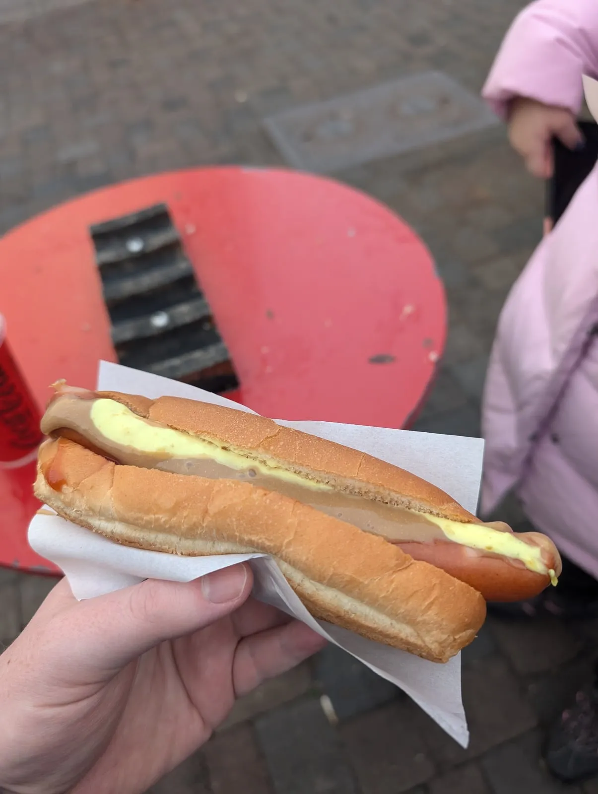
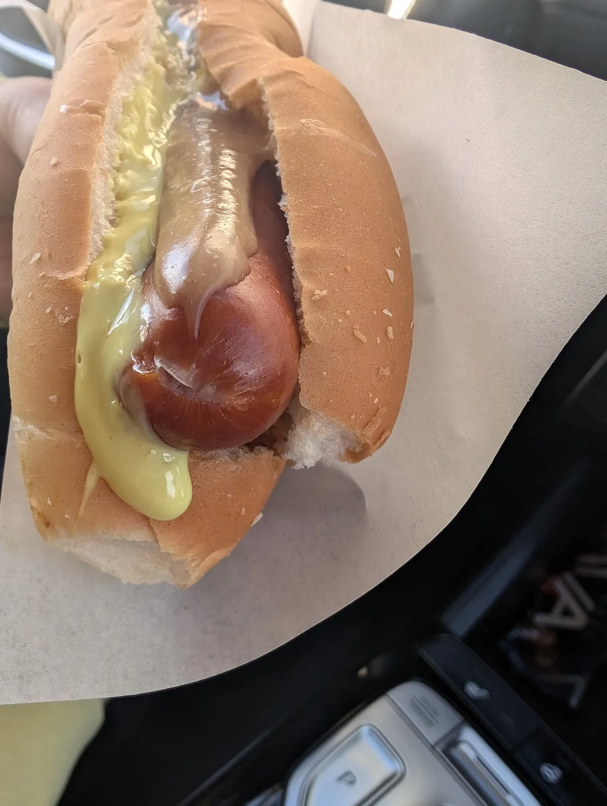
We left Reykjavík on Route 41, the main road to the airport, past the tidal lagoons and lava islets near Hafnarfjörður. In Njarðvík we stopped at the Orkan petrol station at Fitjar, which has a Bæjarins Beztu counter, and had another hot dog! Pizza too, from the Sbarro counter beside it. Amazing petrol station food, very good. The whole hot dog story is in Icelandic hot dogs.
We took the opportunity there to check the map for more areas we didn’t see anyone recommend. Gunnuhver hot springs was one of them.
The roads down to the tip
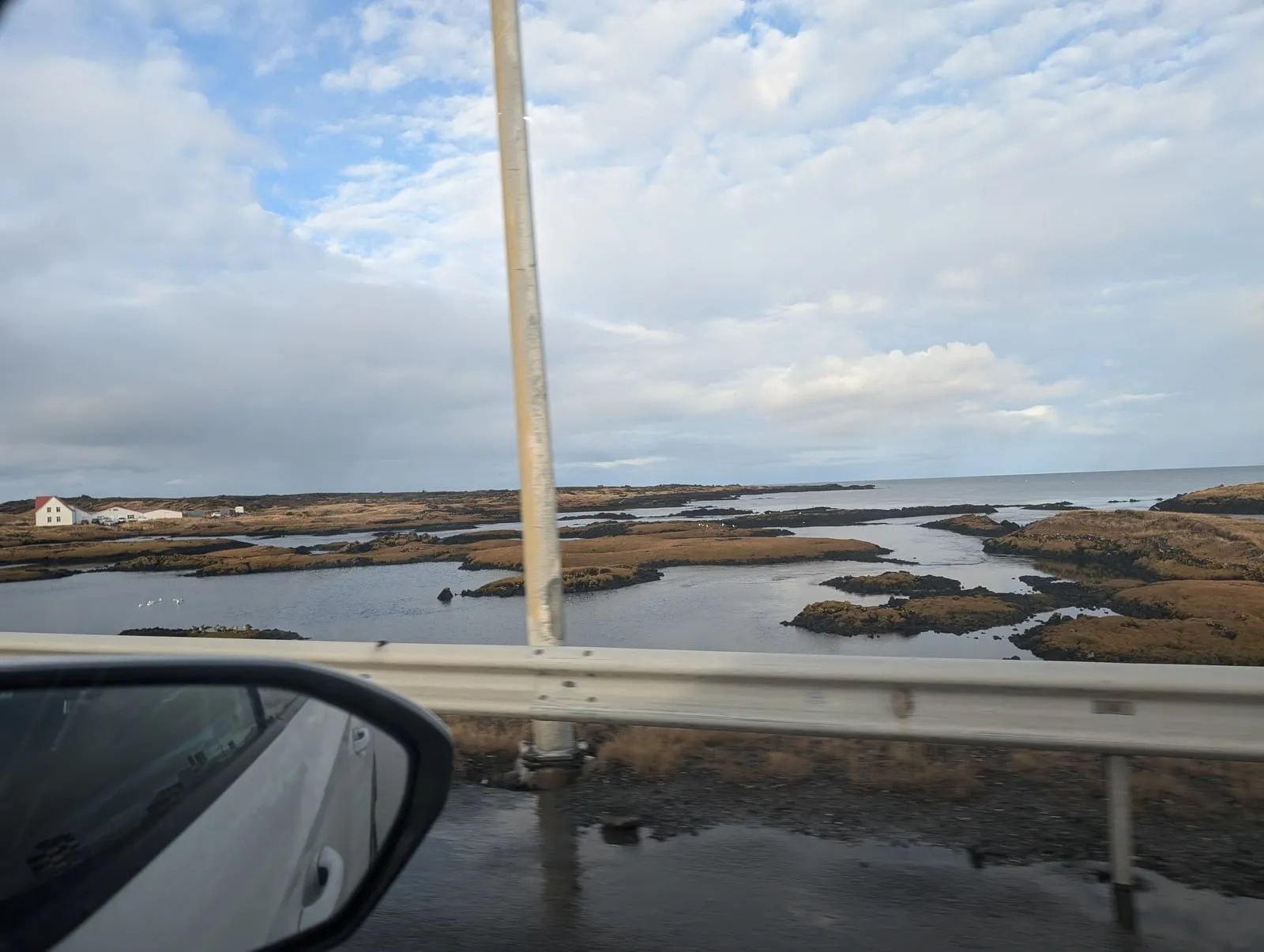
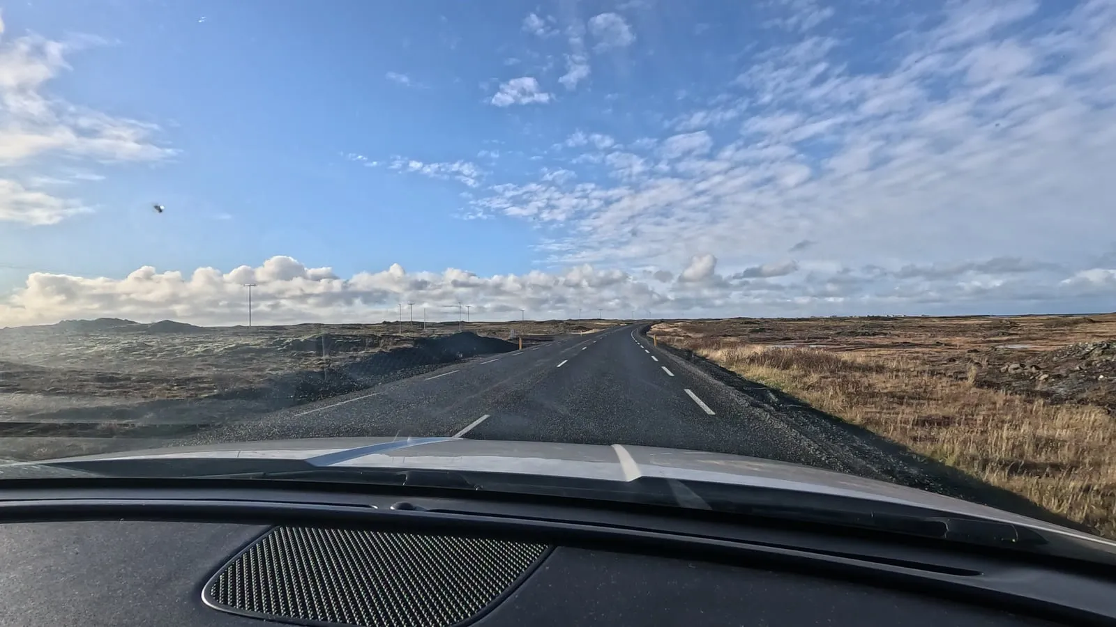
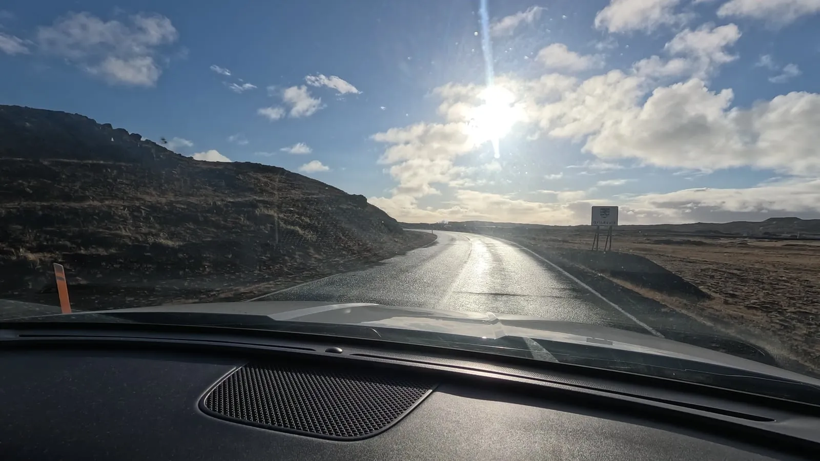
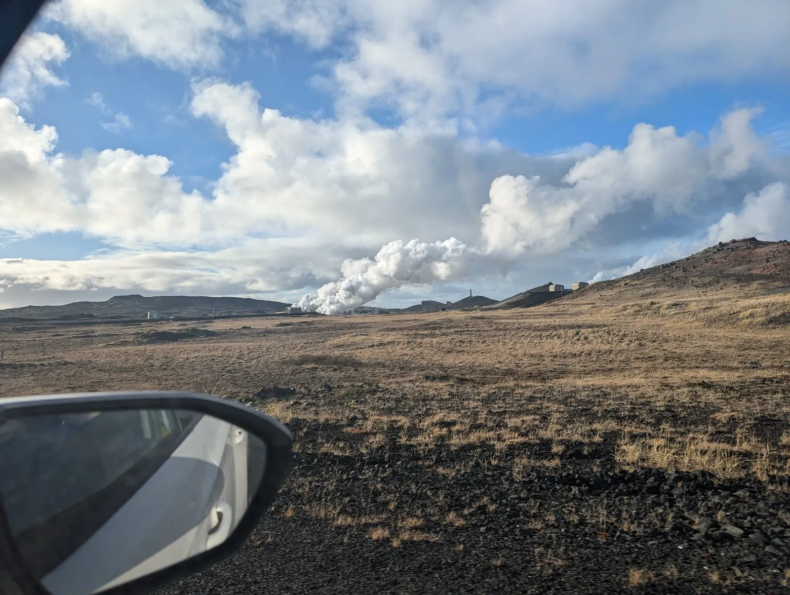
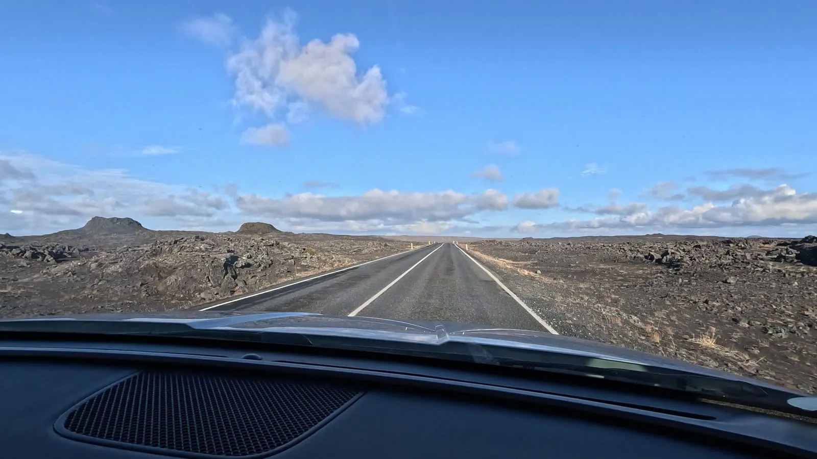
From Njarðvík we drove west towards Hafnir, then south on Route 425 to the tip of the peninsula, with the action camera stuck to the windscreen. It’s flat brown moor and old lava most of the way, with the steam of the Reykjanes power plant ahead of you and, if you look hard, Reykjanesviti lighthouse on its hill.
Just before the turning for Gunnuhver the road passes a Grindavík sign. The town itself is further along the coast, and that day it was still closed to visitors after the eruptions. It reopened to the public the next morning, Monday 21 October 2024.
Gunnuhver hot springs
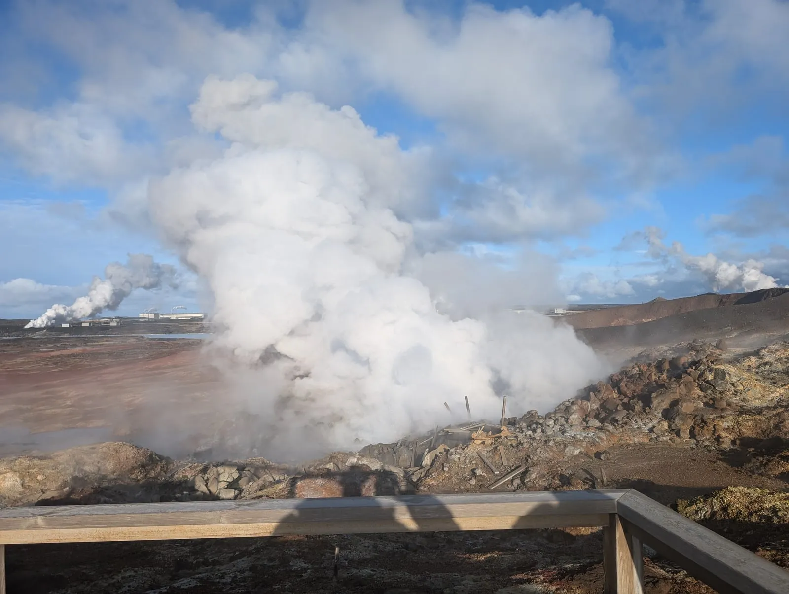
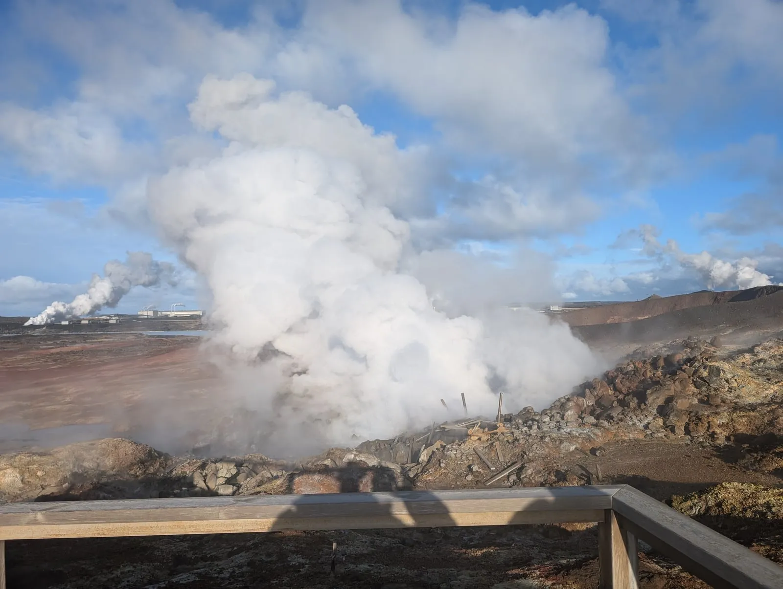
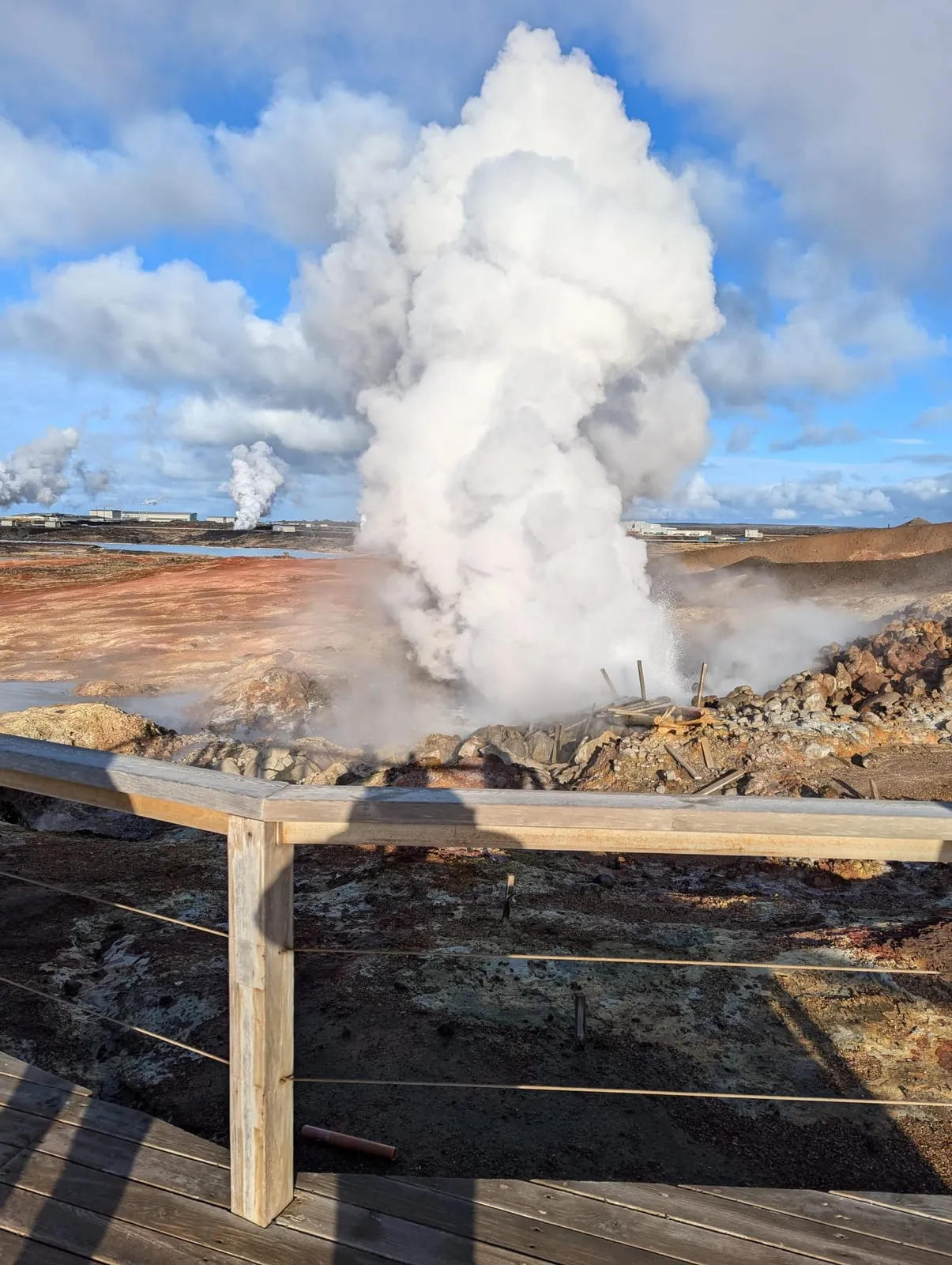
Gunnuhver had almost no one there. It’s a field of steam vents and bubbling mud pools just east of the lighthouse, and the steam pours off red and ochre ground right next to the wooden walkways. When the wind turned, it blew straight over the viewing platform and we couldn’t see a thing. Glad we came.
Its main mud pool, about 20 metres across, is the biggest in Iceland, and unusually for Iceland it’s fed by seawater. Temperatures over 300°C have been measured there, so stay on the walkways and don’t touch the water. The vents are young: they opened after an earthquake swarm in 1967, and in 2006 the area grew so fast it destroyed a road and the old walkways. New walkways and viewing platforms opened in 2010.
It’s named after a ghost. Around 1700 a poor woman, Guðrún Önundardóttir, known as Gunna, couldn’t pay her rent, so her landlord took her cooking pot. She cursed him and died soon after, he was found dead, and her ghost haunted the district until the priest Eiríkur of Vogsósar gave the locals a ball of yarn that drew her into the hot spring. In some tellings she fell in; in others she still paces the edge.
No charge to park or visit is published (checked 15 November 2026), though we couldn’t confirm that it’s free.
The lighthouse we didn’t walk to
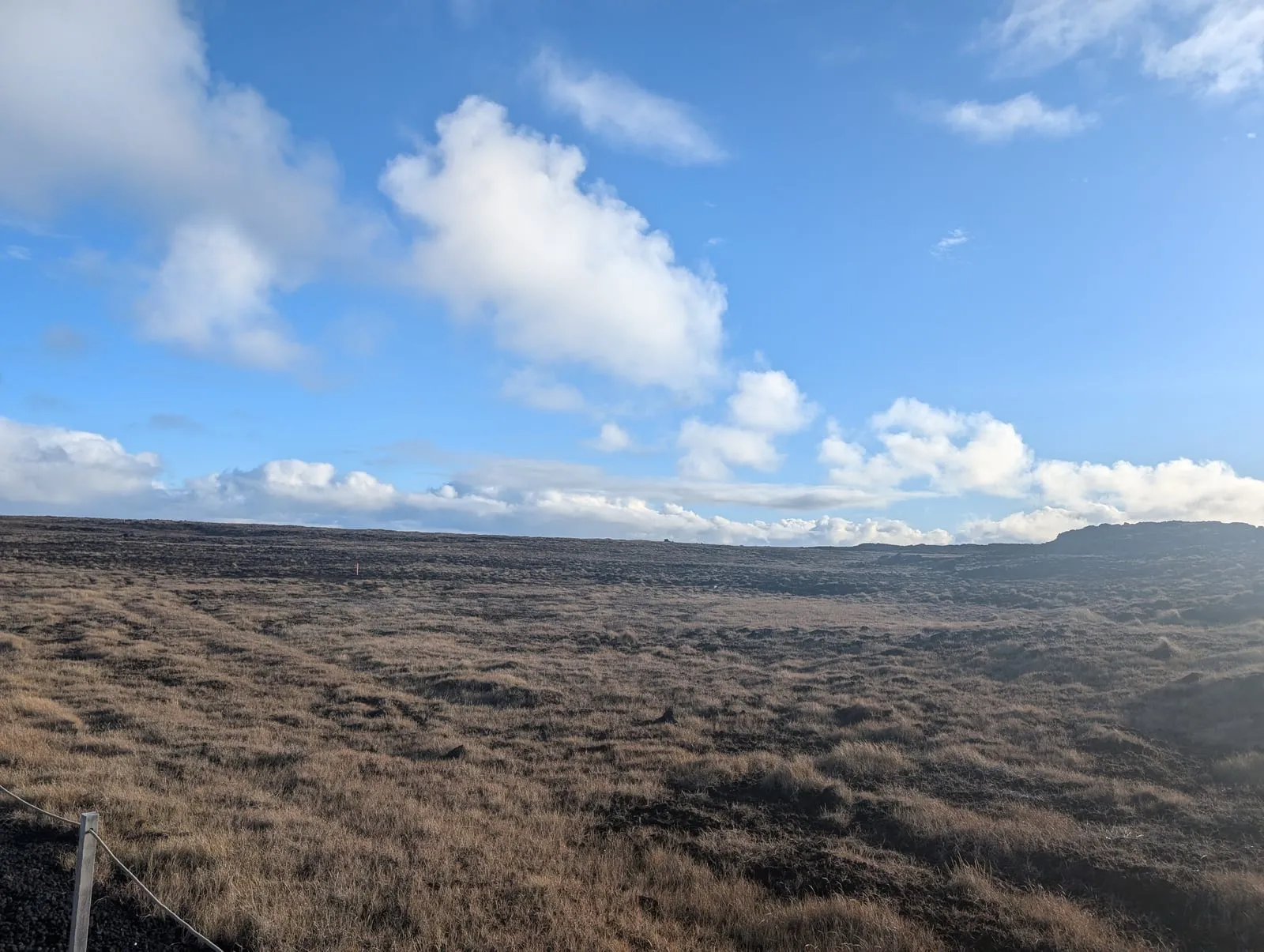
A trek to the lighthouse is possible from Gunnuhver, but we chose not to. Reykjanesviti is about 1.1 km away in a straight line and 6 km by road, and we couldn’t find an official marked path between them, so check the signs when you’re there.
Iceland’s first lighthouse was lit here on 1 December 1878, on the hill Valahnúkur. An earthquake damaged it within ten years, and the tower you see now, on the hill Bæjarfell, was built in 1907 and first lit on 20 March 1908. It’s 31 metres tall.
Brimketill lava rock pool
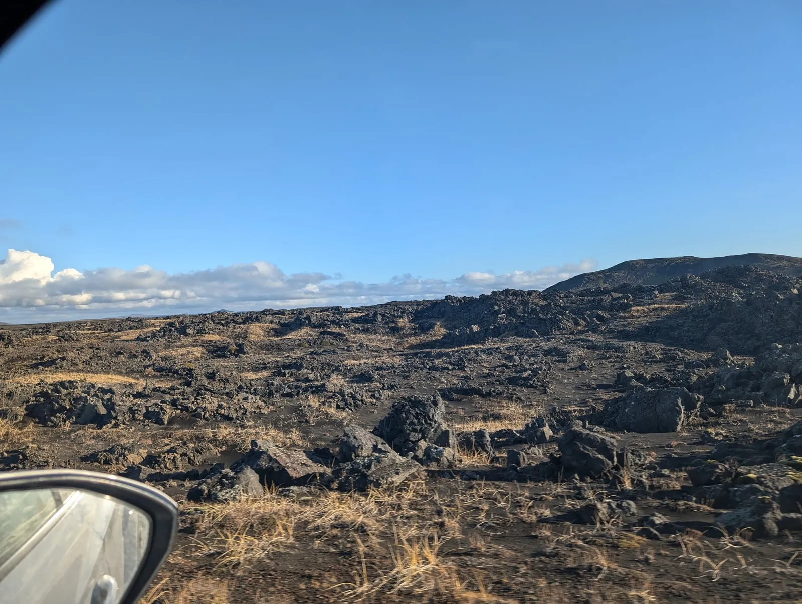
Next was Brimketill, about ten minutes east along Route 425. The terrain was like being on Mars: black, broken lava as far as you can see, and the sea smashing into it. A boardwalk with a rust-brown railing crosses the lava to a viewing platform above the pool.
At last, out of all the days we were there, the sun came out, and no one was around for the first time the entire trip.
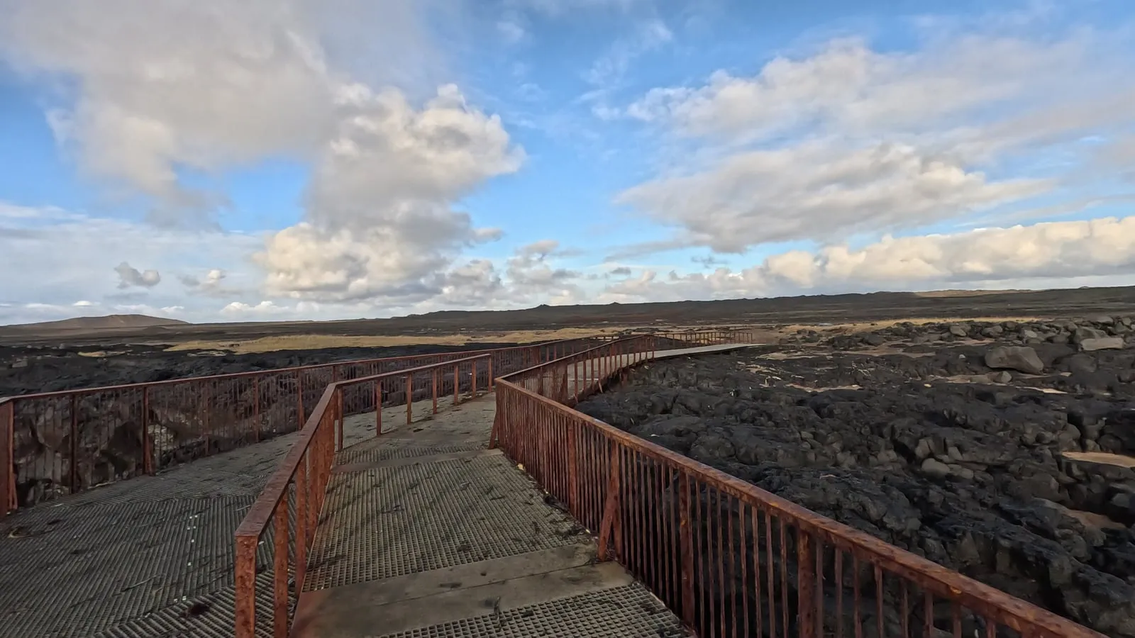
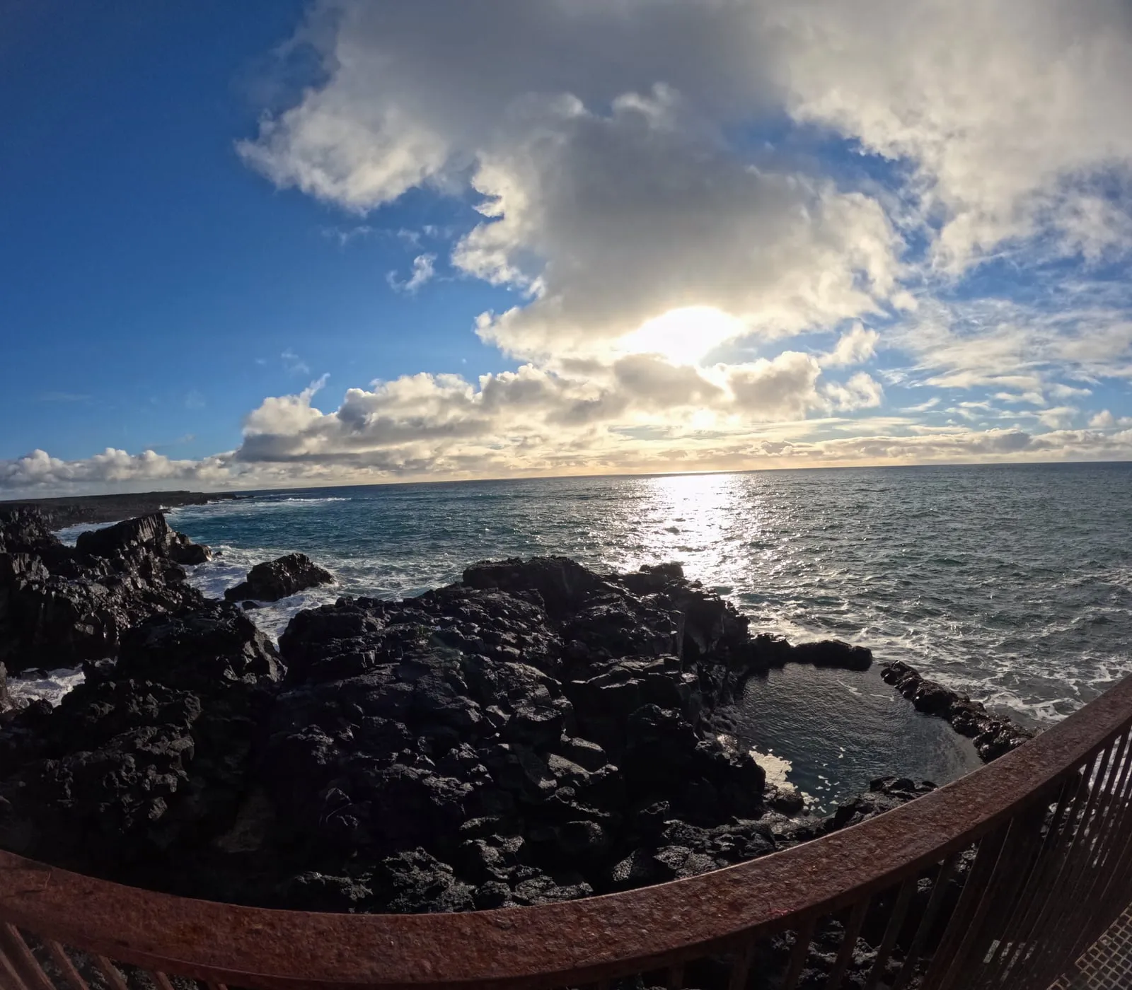
Brimketill is a pool worn into the shore at the western end of the Staðarberg sea cliffs. The waves made it, forcing air into cracks in the lava and pulling the rock apart, with help from frost and sand. The water is ice-cold.
Its old name is Oddnýjarlaug, Oddný’s pool. Oddný was a troll woman who lived at Háleyjabunga with her husband Hróar and their son Sölvi. Out one night to fetch a stranded whale, she stopped here to bathe on her way home, was caught by the sunrise and turned to stone, and the sea has worn her away since.
Reykjanes Geopark built the car park, the path, the information boards and the viewing platform, later making the platform bigger and safer, and the work won the Icelandic Tourist Board’s Environmental Award for 2023. The walk is short, with a few steps, and isn’t wheelchair accessible. We found no parking fee here either (checked 15 November 2026).
Did a volcano change it?
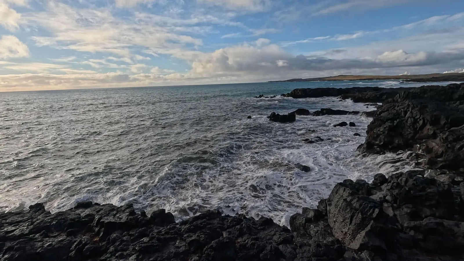
I thought a volcano had changed it all recently. It hadn’t. The lava round Brimketill probably flowed in the Reykjanes Fires of 1210 to 1240, so it’s about 800 years old, and none of the eruptions since 2021 has reached Brimketill, Gunnuhver, the lighthouse or the Bridge Between Continents. Before 2021 the peninsula had gone about 800 years without an eruption.
The new lava is 9 to 25 km east of here, round Fagradalsfjall, Grindavík and the Blue Lagoon, next to the hotel where we slept that night. What has changed at the tip are the cracks: in April 2025 the Geopark warned of new cracks near the Bridge Between Continents and at Valahnúkur, opened by earthquakes, not lava.
The eruptions near Grindavík, 2023 to 2025
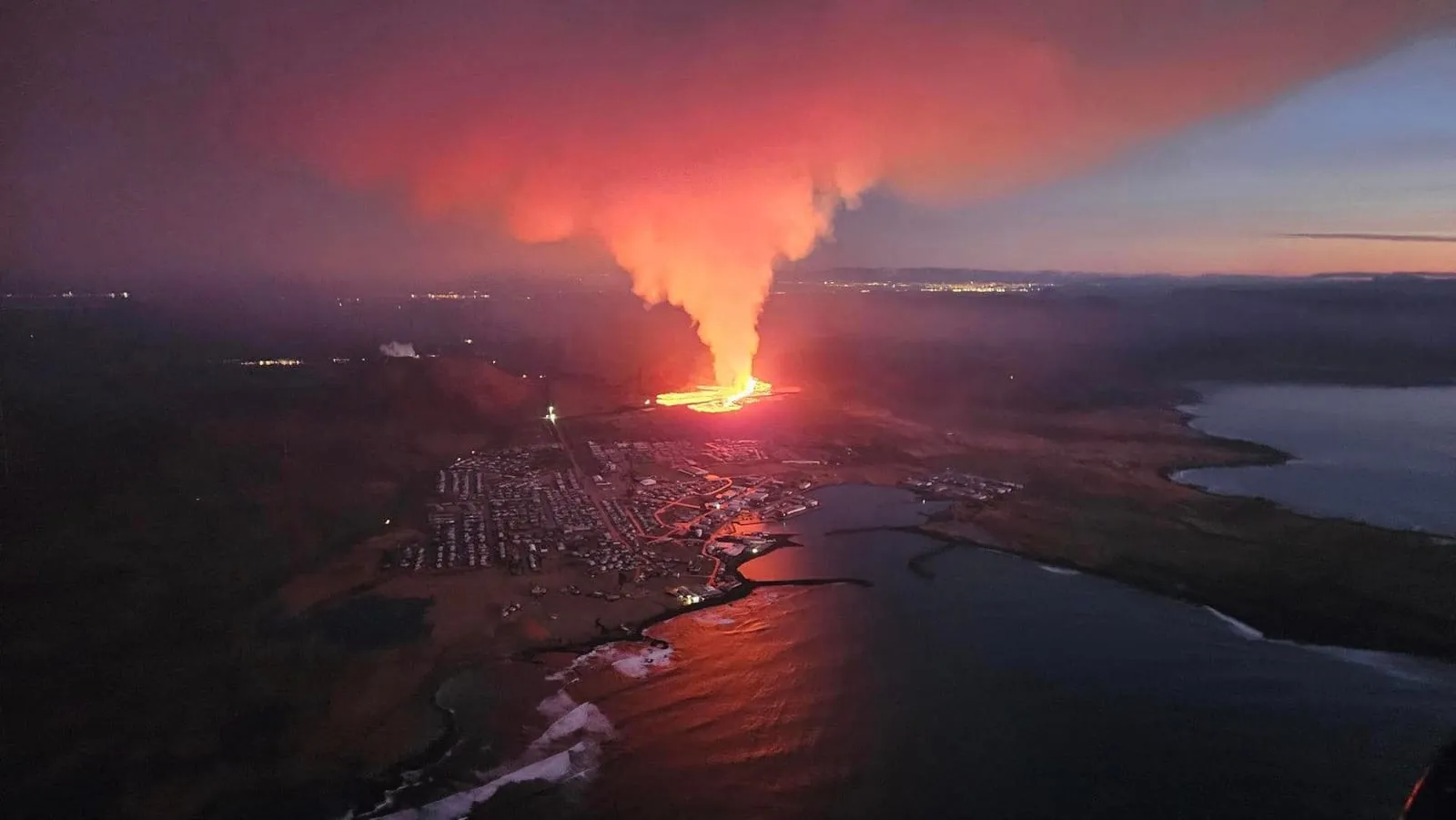
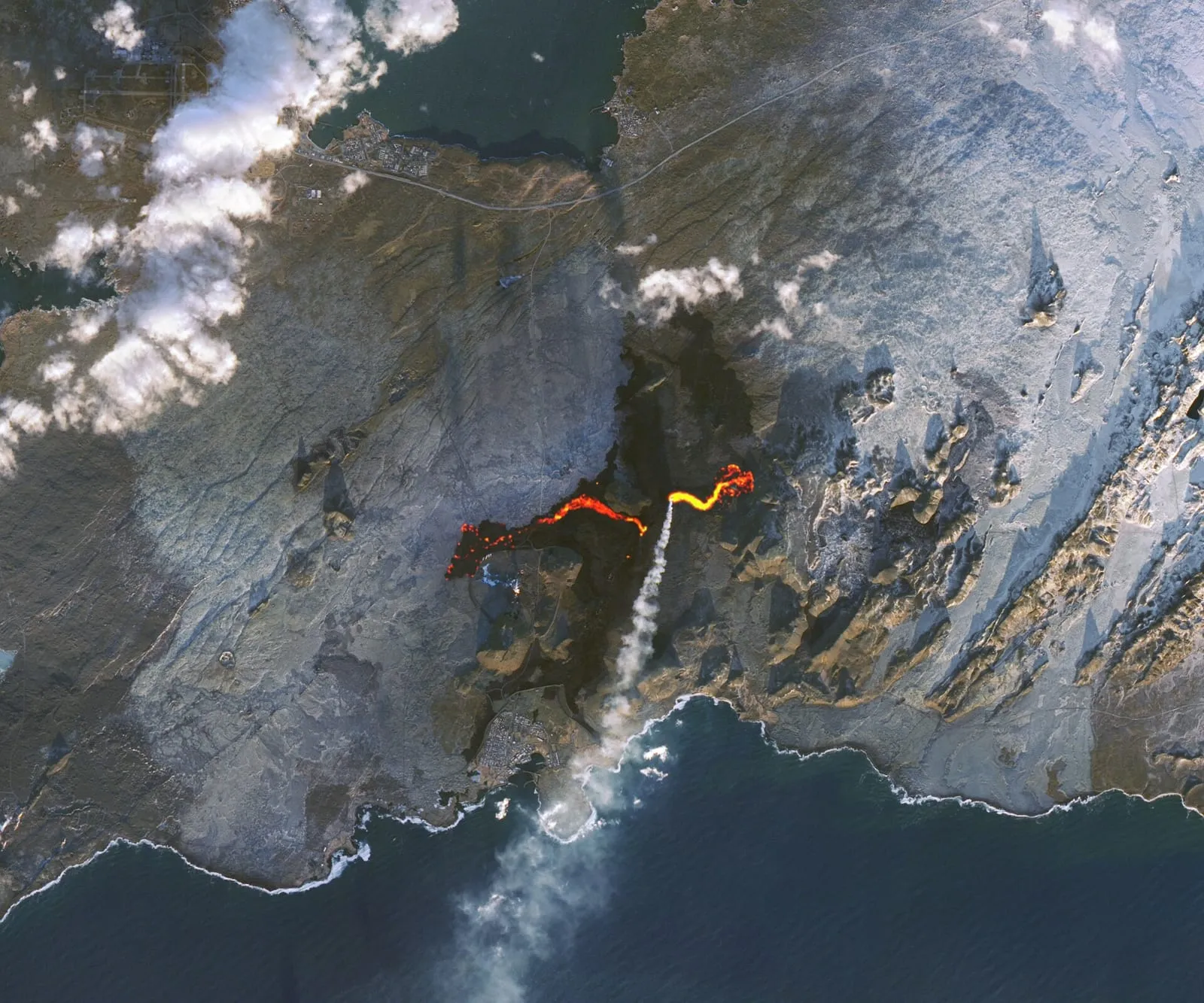
The new lava is real, though. In November 2023 an earthquake swarm opened a sunken valley through Grindavík and the whole town was evacuated. Between December 2023 and August 2025 the Sundhnúkur crater row, just north of the town, erupted nine times:
- January 2024: a fissure opened inside the town’s defence walls, and lava destroyed three houses.
- February 2024: lava cut the main hot-water pipe from the Svartsengi power station, leaving the peninsula’s towns without hot water, and buried the Blue Lagoon’s old access road.
- March to May 2024: the longest eruption, 54 days, sent lava over Route 43, the main road to Grindavík.
- August to September 2024: the biggest, about 61 million cubic metres of lava; about 1,300 guests and staff were evacuated from the Blue Lagoon. It ended six weeks before our trip.
- November 2024, a month after we left: lava buried the Blue Lagoon’s 350-space car park.
- April and July 2025: two more, the last over on 5 August 2025.
So on our day, Grindavík was still shut, and the Silica Hotel and the Blue Lagoon sat inside earth walls with fresh lava right up to them.
Is it safe to go now?
Yes, with a check on the day. When we last looked (15 November 2026) there had been no eruption since 5 August 2025, the longest pause of the series. But magma keeps building under Svartsengi, about 29 million cubic metres by August 2026, and the Icelandic Met Office says the most likely next step is a magma intrusion that could become an eruption on the Sundhnúkur crater row. The area is on alert level 2 (orange), and the warning before past eruptions has been between 20 minutes and just over four hours.
Grindavík is open to visitors again (stay on the paths: there are crevasses), and so is the Blue Lagoon. Brimketill is about 12 km from the crater row and Gunnuhver about 15 km. On the day, check the Met Office at en.vedur.is, alerts at safetravel.is and the roads at umferdin.is.
At Brimketill the bigger danger is the sea. Nobody supervises it, waves can come suddenly and wash right over the rocks, the currents are very strong, and the Geopark warns that going into the sea there can kill. Stay on the platform, and never leave children alone.
The Bridge Between Continents and the Geopark
Gunnuhver and Brimketill are both geosites of the Reykjanes UNESCO Global Geopark, recognised in 2015, along with the lighthouse, the Stampar craters and the Bridge Between Continents.
The bridge isn’t in our photos, but it’s on Route 425 too, about ten minutes’ drive north of Gunnuhver: a footbridge over a wide crack where the North American and Eurasian plates are pulling apart, about 2 cm a year. Strictly, the whole rift zone lies between the plates, not this one crack. Since the cracks of April 2025, keep away from the edges there and stay on the paths.
Getting there and around
- From Reykjavík: Route 41 towards the airport, then Route 44 to Hafnir and Route 425 south. The Bridge Between Continents is 63 km from central Reykjavík, about an hour’s drive.
- Gunnuhver to Brimketill: 5 km, about 9 minutes.
- Brimketill to the Silica Hotel and the Blue Lagoon: 16 km through Grindavík today, about 16 minutes. We drove back north on Route 425 instead, the long way round by Njarðvík, about 46 km.
- To the airport: the Silica Hotel is 23 km from Keflavík airport.
On to the Silica Hotel and the Blue Lagoon
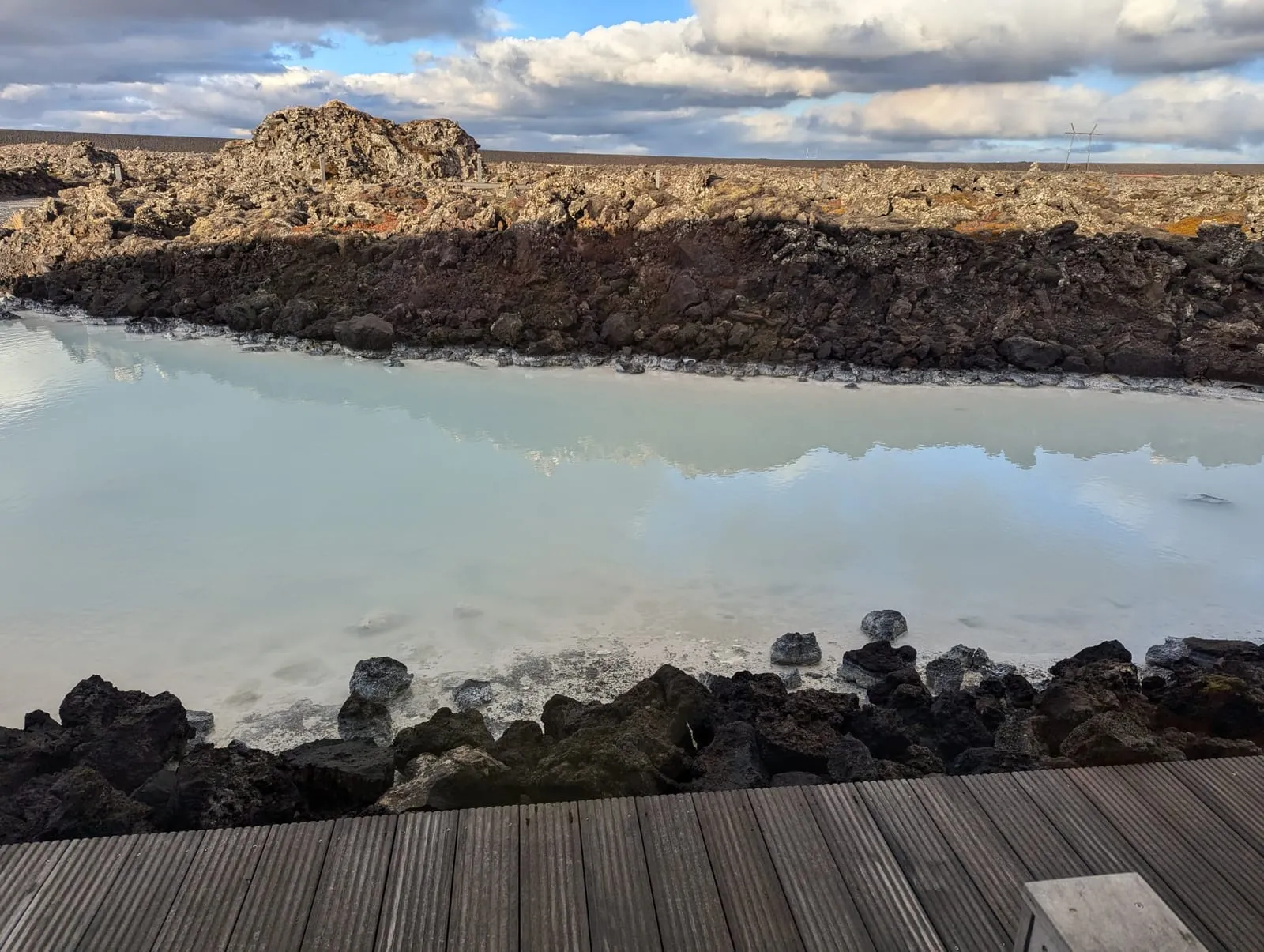
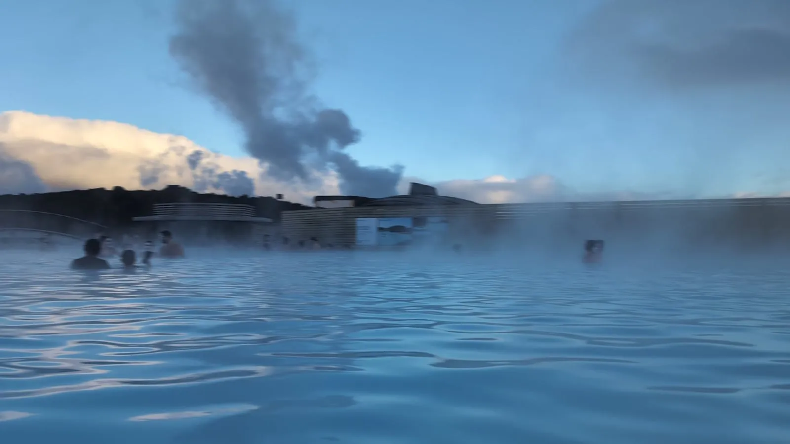
From Brimketill we drove on to the Silica Hotel next to the Blue Lagoon, for the last night of the trip, and spent the evening at the Blue Lagoon and its Lava restaurant.
Our tips for the Reykjanes peninsula
- Check the map for places nobody recommends. That’s how we found Gunnuhver, and it had almost no one there.
- Stay on the walkways at Gunnuhver. Over 300°C has been measured in the vents.
- Stay on the platform at Brimketill. Waves can come suddenly and wash over the rocks, and nobody supervises it.
- Wrap up. We had hats and gloves on even in the sun at Brimketill.
- Check the eruption alerts and the roads on the day, at en.vedur.is, safetravel.is and umferdin.is.
- Stop for food in Njarðvík on the way. The Orkan at Fitjar has a Bæjarins Beztu hot dog counter and Sbarro pizza.
Reykjanes peninsula FAQ
Where is the Reykjanes peninsula? In the south-west corner of Iceland. Keflavík airport, Grindavík and the Blue Lagoon are all on it, and its tip is about an hour’s drive from Reykjavík.
Is the Reykjanes peninsula worth visiting? Yes. Gunnuhver and Brimketill were two of the quietest stops of our trip, and both are near the airport and the Blue Lagoon.
Can you swim in the Brimketill lava pool? No. It’s ice-cold seawater in the surf, waves come suddenly, the currents are very strong, and the Geopark warns that going into the sea there can kill. Watch from the platform.
Is Gunnuhver free? As far as we can find, yes. No fee to park or visit is published (checked 15 November 2026), but that isn’t confirmed.
Is Grindavík open to tourists? Yes. It reopened to the public on 21 October 2024, the day after our visit, and is open now, though it sits in the eruption hazard zone, so stay on the paths (checked 15 November 2026).
Is the volcano still erupting? No. The last eruption ended on 5 August 2025, but magma is building again under Svartsengi and another is possible (checked 15 November 2026).
Reykjanes peninsula or the Golden Circle? Do both if you can. The Golden Circle took us most of a day and Geysir was very busy; the Reykjanes stops fit round the airport and the Blue Lagoon, and had almost no one there.
More from this trip
The Reykjanes peninsula was the fourth day of our Iceland trip in October 2024. The rest:
- Our Iceland trip review: the whole trip, and the verdict.
- 4 days in Iceland: our itinerary: day by day, with the drives.
- The Golden Circle by car: Þingvellir, Geysir and Gullfoss.
- Hotel Rangá review: the hotel with the polar bear.
- The south coast waterfalls: Skógafoss, Seljalandsfoss, Gljúfrabúi and Urriðafoss.
- The Reykjavik EDITION review: refused at check-in on debit cards.
- Our self-guided Reykjavík food walk: five stops, and the fermented shark.
- Where we ate and drank in Reykjavík: our nights out.
- Icelandic hot dogs: the famous stand, a petrol station and the airport.
- The Silica Hotel review: our last night, next to the Blue Lagoon.
- The Blue Lagoon review: the lagoon, and Lava restaurant.
Photo credits
Our photos and video stills are our own, from October 2024. Stock pictures, each under its own licence (the photos resized):
- Grindavík and the eruption, 14 January 2024: Iceland’s Civil Protection (Almannavarnadeild ríkislögreglustjóra), public domain, Wikimedia Commons.
- The new lava by the Blue Lagoon from space, 24 November 2024: NASA Earth Observatory (Michala Garrison, Landsat data from the USGS), public domain, Wikimedia Commons.
- In our video, the May 2024 eruption from a drone: Steinninn (Eysteinn Guðni Guðnason), CC BY 4.0, Wikimedia Commons.